Feria Urbanism was appointed by Cranbrook & Sissinghurst Parish Council to help them prepare a neighbourhood plan for this Kent parish. We worked with the local team on the ground from start to finish to prepare an ambitious plan that seeks to balance protection of the precious High Weald landscape with new housing development and economic change.
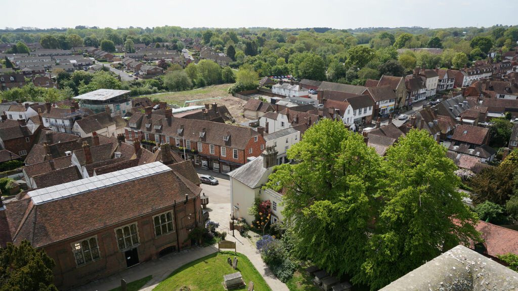
Located on the road linking Maidstone to Hastings, Cranbrook is five miles north of Hawkhurst. The smaller settlements of Sissinghurst, Swattenden, Colliers Green and Hartley lie within the parish. Cranbrook sits on the Hastings Beds, alternating sands and clays which are more resistant to erosion than the surrounding clays and so form the hills of the High Weald. The geology of the area has played a major role in the town’s development.
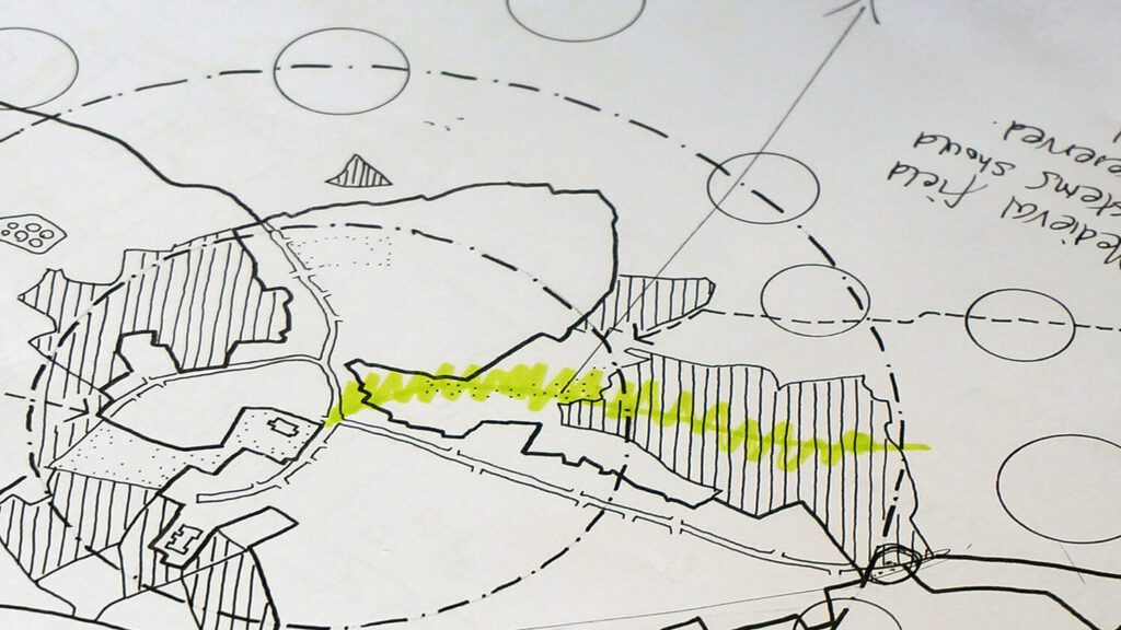
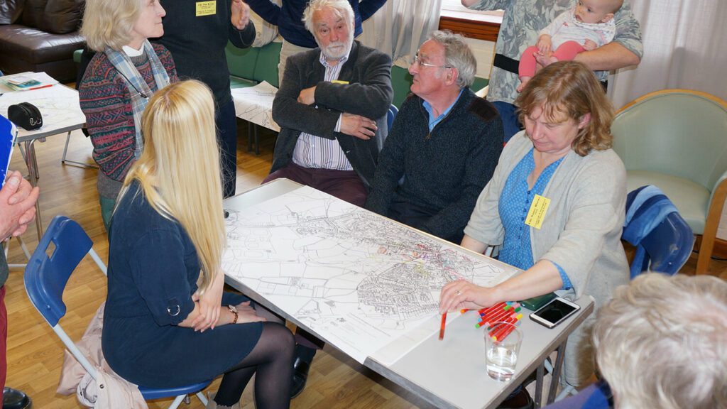
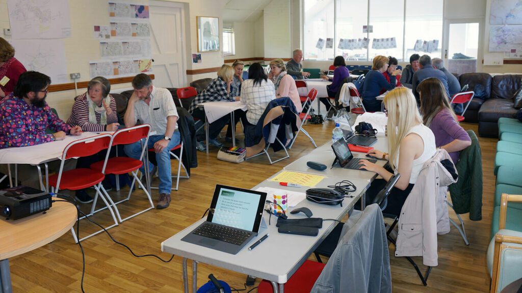
Our early work involved the organising and running of two community design workshops. These events allowed a variety of different community groups to have their say on a range of planning and design issues. More work followed with a three-day design forum and a poster exhibition of draft planning policies.
We steered the pre-submission plan through its consultation phase and supported the group as the plan was revised and made ready for submission. Following a successful examination process, the Cranbrook & Sissinghurst plan received a 92% yes vote at referendum.